Erratic Multicoloured Blinking Lights over New Haven, West Virginia, 7 November 2026
Two people driving home on WV-62 beside the Ohio River watched at least five coloured lights hang above the treeline for about ten minutes, blinking on and off in no order while holding their positions relative to one another. The report was filed for 12:59 PM. The footage is a black sky, JPL Horizons puts the Sun 33.48 degrees above the horizon at the filed time and 65.04 degrees below it twelve hours earlier, and the witness herself later wrote that she meant to type am. Measured 1.85 miles east southeast of the town centre stand two chimneys of 1,100 and 1,000 feet above ground, and the FAA obstacle record of what is mounted on them is where this case turns.
What did witnesses see at New Haven?
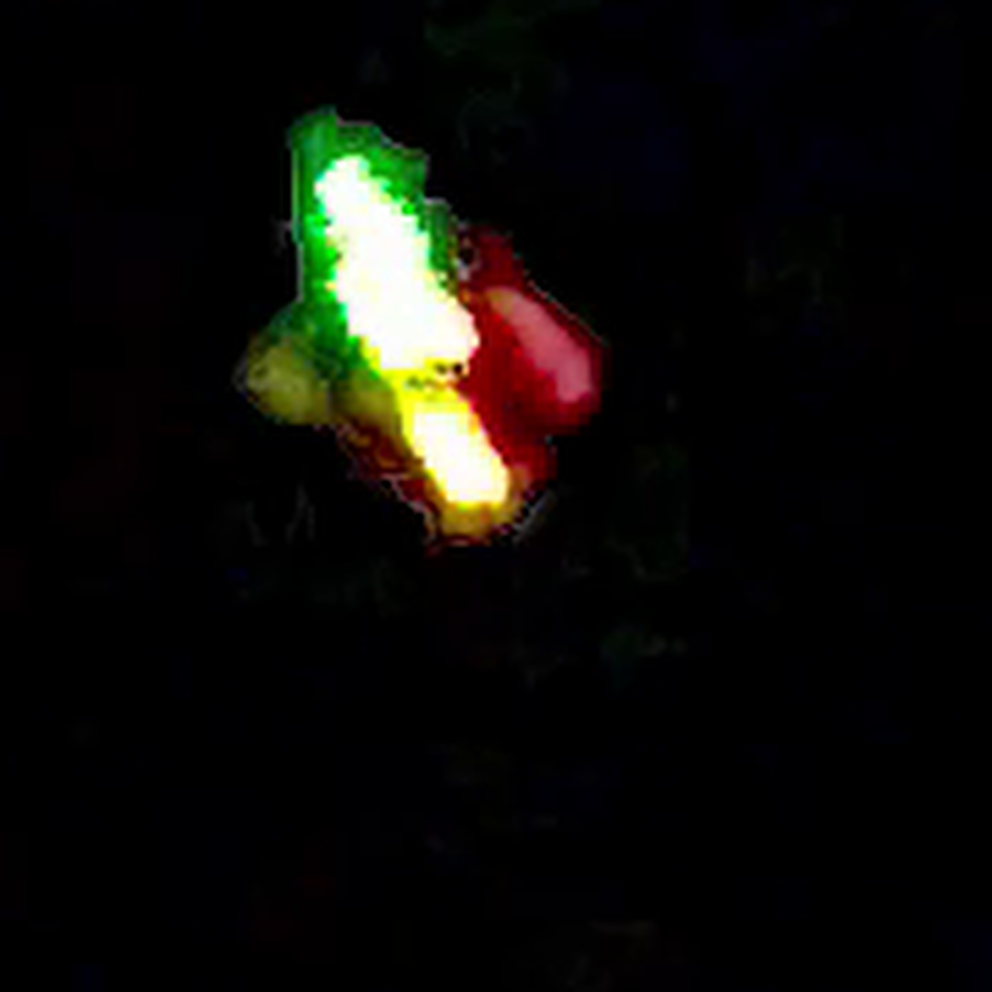
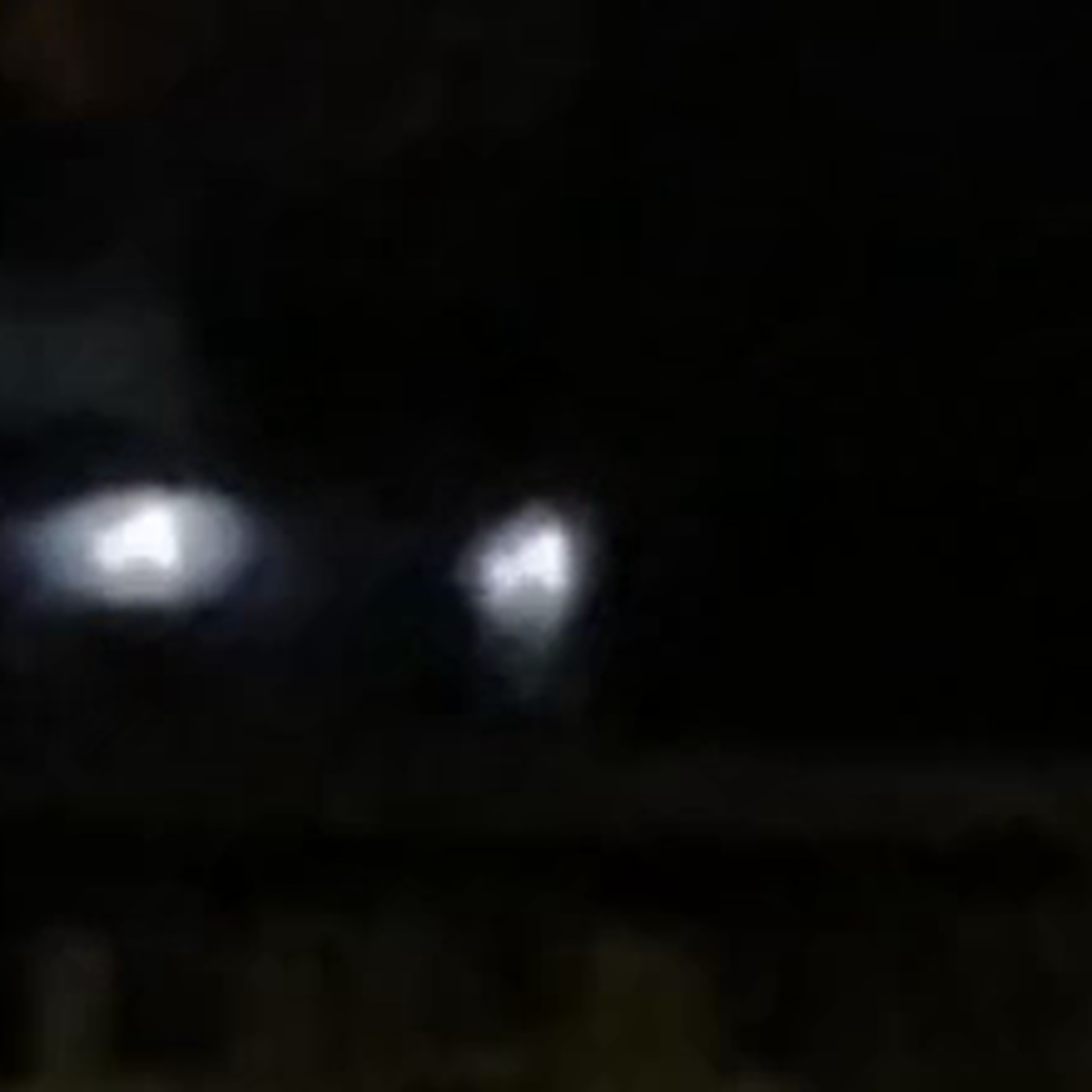
A driver heading home along WV-62 at about one in the morning saw bright orange lights above the trees beside the road. She stopped the car, and filming began once the lights started switching on and off at random and cycling through colours. The structured filing logs two witnesses, a ten minute duration, an iPhone 12, and two MP4 files of 4.3 MB and 8.3 MB that carry no capture metadata.
The witness counted at least five lights in two rows, flashing in no sequence she could follow, cycling orange and red, white, yellow, blue and purple. The lights never changed position. Her own account contains the detail that makes this case worth measuring rather than filing: she first assumed drones, and rejected that because the lights stayed in the same proportions every time they lit back up. The blinking made the group appear to shift shape, by her description from car to truck to UFO to single star, without anything actually moving. There was no sound at any point, and she checked a flight tracking app and found no traffic in the area.
The structured fields put the closest approach within a football field and the apparent size at a grapefruit held at arm's length. Shape is logged as changing, object count as five or more. On the Reddit relay the witness narrowed the vantage to a park on WV-62 in New Haven, was asked where on that road, and never answered, so the exact observing position remains unpinned.
The archive measured the Reddit copy of the footage, 720 by 1280, 20.29 seconds, 608 frames at 30 frames per second. The lights are unambiguously real and not compression artefacts or sensor noise. The brightest source sits 63.9 grey levels above a sky annulus sampled at three to five object radii, with a median detection significance of 37.1 sigma. Mean frame luminance across twelve evenly spaced samples is 2.76 out of 255, with the 99th percentile pixel between 8 and 16 and individual sample means spanning only 2.16 to 4.03. That is an essentially black sky, which is the measurement that broke the filed timestamp.
The brightest source has a mean apparent area of 190 pixels with a coefficient of variation of 134.5 per cent and an aspect ratio ranging from 0.13 to 12.75, which is what a blinking point source smeared by handheld motion looks like rather than a resolved object. Correlation between area and contrast is 0.113, essentially none, so there is no recession signature. Brightness does not fall as apparent size falls, which argues against the size changes being caused by the sources moving away from the camera.
Camera motion is only partly recoverable and the figure should be treated as weakly supported. Phase correlation gave a median peak of 0.872 with the frame unmasked, falling to 0.316 once the brightest source was masked out. On that weak lock the cumulative camera travel comes to 302 pixels in x and 6 pixels in y, against object travel of 679 pixels in x and 960 pixels in y. A star presence test found no static reference at all: the median of background subtracted frames peaked at 0.37 against a per pixel noise floor of 0.71. With no stars there is no plate solve, therefore no angular size and no angular rate, and the within a football field distance claim cannot be tested from the footage in either direction.
More footage and images of this sighting

What is the official explanation?
There is no official file. No agency investigated, no police report surfaced, and no press coverage exists. What follows is the official record the archive assembled around the event rather than about it.
THE FILING'S OWN AUTOMATED BLOCK IS VOID. The report page states that no bright satellites were visible overhead, computed from orbital data against the 2026-11-07 catalogue. That computation was run for 12:59 PM EST. The event happened at about 12:59 AM EST. The block therefore answered a daylight sky twelve hours removed from the event and carries no weight here in either direction. This archive has now logged the same twelve hour clock error on several structured filings from this form, and the pattern is consistent enough to state plainly: on these reports the time field is the least reliable field on the page, and every automated sky check derived from it inherits the error silently.
LOCATION, CONFIRMED. The US Census Bureau geocoder returns New Haven town, Mason County, West Virginia, inside Graham district, census tract 9548.02, block 1014, within the Middleport OH-WV Urban Area. The 2026 Census Gazetteer gives the town internal point as 38.987993 N, 81.967270 W. Mason County's internal point sits well to the south at 38.769586 N, 82.026602 W, so the headline place name holds up and the county is correctly stated.
THE SKY AT THE CORRECTED TIME. JPL Horizons, observer at 81.967 W, 38.988 N, elevation 0.18 km, for 2026-11-07 05:59 UTC. Sun azimuth 27.89, elevation minus 65.04, deep night. At the filed time of 17:59 UTC the Sun stood at azimuth 193.67, elevation plus 33.48, high in the southern sky in full daylight. Moon azimuth 59.98, elevation minus 48.72, below the horizon, so the sky was moonless. Venus below the horizon at minus 50.15. Mercury below at minus 60.57. Three planets were up. Jupiter at apparent magnitude minus 2.04, azimuth 77.13, elevation plus 6.13. Mars at magnitude 0.74, azimuth 77.26, elevation plus 9.62. Saturn at magnitude 0.49, azimuth 238.68, elevation plus 34.15. Jupiter and Mars were within about 3.5 degrees of each other low in the east northeast, and a magnitude minus 2 planet six degrees above the horizon scintillates hard and throws colour, which is a known generator of multicoloured blinking light reports. That cannot account for five or more lights in two rows, and it sits 32 degrees away in azimuth from the industrial candidate described below, so it is noted rather than relied on.
CLOUD AND VISIBILITY. Iowa Environmental Mesonet ASOS archive, hourly and special observations, local time. Parkersburg, roughly 35 miles northeast, reported overcast at 5,500 feet with 10 statute miles visibility at 00:53, overcast 5,000 feet at 01:53 and 02:53, then scattered 2,100 feet by 03:53 and clear by 05:53. Charleston reported few at 5,000 feet at 00:54 and 01:54, clear from 02:54, visibility 10 miles throughout. Huntington reported scattered at 5,000 feet at 00:51 and clear from 01:51, visibility 10 miles. The ceiling matters in both directions and the answer is clean: a deck at 5,000 to 5,500 feet above ground is far above the 1,100 foot structures discussed below, so it cannot hide them, but it is more than sufficient to erase stars. That independently explains the null star presence test in the footage, and it means the absence of a static reference is a sky condition rather than evidence about the object.
THE INDUSTRIAL SKYLINE, THE CENTRAL LOCAL FACT. New Haven sits on the Ohio River immediately beside heavy generating infrastructure, and the obstacle record is specific. EIA form 860M for September 2026 lists plant code 6264, Mountaineer, operated by Appalachian Power, in Mason County West Virginia at 38.9794 N, 81.9344 W, 1,300 MW nameplate conventional steam coal, in service September 1980, status operating with no retirement filed. EPA TRI gives its address as 1347 Graham Station Road, New Haven, WV 25265. EIA form 860 for data year 2025, schedule 6, reports two stack flues: stack 1, in service September 1980, status retired, 1,103 feet tall, 719 square feet at the top; and stack 1A, in service February 2007, status operating, 1,000 feet tall, 1,419 square feet at the top. Those areas imply top diameters of 30.3 and 42.5 feet. The plant uses recirculating cooling with a natural draft wet tower drawing from the Ohio River, EIA cooling codes RN and NW. The tower's height is unverified and is not stated here, because no FAA obstacle record for it exists and no primary source gave a figure.
THE FAA OBSTACLE RECORDS. The FAA Daily Digital Obstacle File downloaded 10 November 2026, internal file date 2026-11-09, 661,041 records, carries two stack entries at the Mountaineer coordinates. Record 54-000226, verified status O, New Haven WV, 38.979445 N, 81.934445 W, type STACK, quantity 1, 1,100 feet above ground, 1,685 feet above mean sea level, lighting code S, marking none, FAA study 1976AEA01012OE, last actioned 2025 day 247. Record 54-001182, verified status U, 38.978962 N, 81.933939 W, STACK, quantity 1, 1,000 feet above ground, 1,586 feet above mean sea level, lighting code S, FAA study 2004AEA03100OE, last actioned 2014 day 124. Implied ground elevation is 585 feet above sea level. In the DOF legend published by the FAA, S means High Intensity White Strobe, white only, as distinct from H, High Intensity White Strobe and Red, and from R, Red.
THAT LIGHTING CODE IS THE HINGE AND IT CUTS AGAINST THE EASY ANSWER. The intuition that tall stacks carry flashing red lights is wrong for this specific location, and FAA Advisory Circular 70/7460-1N, effective 11 August 2026, explains why. Section 4.3 and section 7.2 state that the high intensity flashing white system provides the highest degree of conspicuity day and night, and that it should not be installed on structures 700 feet above ground or less unless an aeronautical study shows otherwise. The 1,100 and 1,000 foot chimneys at New Haven are well past that threshold and the DOF confirms both carry the white system. Red is what the shorter structures around New Haven get. The same AC specifies, in appendix A table A-1, the fixtures involved: L-856 high intensity flashing white at 40 flashes per minute incandescent and 60 flashes per minute LED, L-864 medium intensity flashing red at 20 to 40 flashes per minute, L-865 medium intensity flashing white at 40 flashes per minute, and L-810 steady or flashing red at 30 flashes per minute. Section 4.3 requires that all flashing lights on a single structure flash simultaneously, with catenary supports the only exception. Section 7.8 sets the chimney layout: multiple light levels depending on height, three or more lights per level to guarantee an unobstructed view from any direction, and top level chimney lights permitted as low as 20 feet below the top to limit deposit build up. Section 7.4 sets units per level by diameter, four units for a stack over 20 and up to 100 feet across, which is the band both Mountaineer chimneys fall in. Section 7.2 also warns that a 24 hour high intensity white system is reduced in intensity automatically for twilight and night operation.
WHAT ELSE STANDS NEARBY, AND WHAT DOES NOT. The Philip Sporn plant, EIA plant code 3938, also at New Haven in Mason County at 38.9669 N, 81.9231 W, is fully retired. Four 152.5 MW units retired November 2015 and a 495.5 MW unit retired February 2012. EIA lists its two stacks, 600 and 601 feet, both retired, and once through cooling with no tower. EPA TRI flags the facility closed. The DOF still carries record 54-000044 for two 603 foot stacks at that coordinate with lighting code U for unknown, no FAA study number, last actioned 2014 day 152, and that record is stale: the site is now the New Haven Industrial Park under Frontier Group ownership, its stacks were brought down by controlled demolition, and the owner's own 2024 coal combustion residuals fugitive dust plan treats the site as post closure. A demolished stack cannot carry lights, and this case does not use that record. Across the Ohio in Gallia County Ohio, the Gavin plant at Cheshire, EIA plant code 8102, 2,600 MW nameplate and operating as of the September 2026 inventory, carries DOF record 39-000601, quantity 3, 1,103 feet above ground, lighting code S, with the tightest horizontal accuracy code in the local set. Note a genuine conflict between primary sources there: EIA's 2025 stack flue schedule reports only two operating Gavin stacks at 830 feet, dating from 1994 and 1995, and the archive could not resolve it because the Ohio EPA Title V permit sits behind a JavaScript portal. Gavin's two natural draft cooling towers are recorded at 493 feet with lighting code N, none. Kyger Creek at Cheshire, EIA plant code 2876, five 217.3 MW units from 1955, all operating, has a 1,000 foot retired chimney in the DOF with lighting code S, plus an 838 foot flue gas desulphurisation stack built in 2011 that OVEC's own press release documents and that is entirely absent from the DOF. The John E. Amos plant is not local to this case at all: EIA places it in Putnam County at 38.4731 N, 81.8233 W on the Kanawha River, 36.41 miles away at bearing 168, and its stacks are 903 feet by EIA and 900 to 901 feet by FAA, not the 1,000 feet often repeated. Its three cooling towers at 495 feet are lit red.
GEOMETRY FROM THE TOWN TO THE STACKS. Great circle calculation from the Census internal point for New Haven. The 1,100 foot chimney lies 1.85 miles away at bearing 108.7, its top subtending an elevation angle of 6.44 degrees. The 1,000 foot chimney lies 1.88 miles away at bearing 109.4, elevation angle 5.75 degrees. The two stand 69.3 metres apart, giving a horizontal angular separation of 1.34 degrees and a vertical offset between their tops of 0.58 degrees. The demolished Sporn stacks would have been at 2.76 miles, bearing 121.3. Gavin's 1,103 foot stacks are 8.82 miles out at bearing 245.8 and only 1.36 degrees up. Kyger Creek is 9.99 miles at bearing 240.1 and 1.09 degrees up. The nearest red lit structure of any kind is a 240 foot transmission line tower at bearing 161.9, 6.40 miles away and 0.41 degrees above the horizon, which is below the treeline from any road level vantage. The archive also enumerated every DOF obstacle above 200 feet within six miles and found a hard structural constraint worth recording: nothing exists between 603 feet and 1,000 feet anywhere in that radius.
ONE MORE INDUSTRIAL SOURCE, FLAGGED NOT RELIED ON. EPA TRI lists American Alloys Inc on US Route 33 at New Haven itself, and USGS minerals information confirms a ferrosilicon and silicon metal producer at New Haven, West Virginia. A submerged arc smelter emits orange furnace and tapping glow, which is the colour the witness reported first. The archive could not verify that the works was operating in 2026, so this is named as an unresolved local candidate and nothing more.
NO SECOND REPORT ANYWHERE. The National UFO Reporting Center index was queried through its own server side table interface across all 162,714 entries. Its newest entry at the time of checking was 1 November 2026 and it contains nothing from 6 or 7 November 2026 from any state. Filtered to West Virginia it holds 1,003 entries, the most recent being 24 October 2026 at 21:45 from Leon, which is also in Mason County and describes several white lights moving in various directions at various speeds. That is prior nearby activity, not corroboration, and the description does not match. MUFON's database is gated behind paid membership and was not accessed. Press searches returned nothing, and the reason matters: both Ohio Valley dailies that would have covered this are dead domains. The Point Pleasant Register and the Gallipolis Daily Tribune merged in 2022 into the River Cities Tribune and Register, published online under wvnews.com, which returns no results for the window. New Haven currently has no daily local paper, so the absence of coverage is weak evidence of absence rather than a meaningful negative.
What did the witnesses think it was?
Single household, two witnesses, one camera. The filing reporter is the Reddit account u/No-Metal5107, who states the video came from her husband's phone and was forwarded to her for submission, so the imagery is one generation removed from the device that made it and arrives stripped of capture metadata.
The witness is a better witness than the form makes her look. She volunteered that drone activity had increased in her area recently, said she had previously watched multiple drones flying in formation, and specifically distinguished this from that: no steady navigation lights, no typical drone strobe pattern, and the lights holding fixed proportions to one another through every blink cycle. She also corrected her own filing in public. Asked on Reddit whether 12:59 meant one minute to one in the morning, she replied that she meant to put am. That is the single most valuable thing any witness did on this case, and it converts the archive's photometric time correction from an inference into a confirmation.
What she did not do is pin the vantage. Pressed for a point on WV-62, she gave no answer and no follow up occurred. No investigator contacted her. The report has stood since 7 November 2026 with its time field still reading PM on both the originating page and the Reddit title.
There is no second witness outside that household. The Reddit thread scored 23 with 14 comments and produced no corroboration and no explanation. One commenter described a recurring triangular object over Cowlitz County and Camas, Washington, roughly 2,400 miles away and on a nightly schedule, which is a different witness describing a different thing and is not corroboration. Another steered the thread toward John Keel's Mothman book on the basis of proximity to Point Pleasant. Not one commenter raised a power plant, a chimney, obstruction lighting, or aircraft.
Is the Erratic Multicoloured Blinking Lights over New Haven, West Virginia, 7 November 2026 real? The two-pass assessment
FIRST PASS, THE CASE THAT SOMETHING UNEXPLAINED WAS FILMED.
The lights are real and the measurement is not marginal. A median detection significance of 37.1 sigma against a local sky annulus is not a borderline result, and a 63.9 grey level excess on a frame whose mean luminance is 2.76 out of 255 means these are genuinely bright point sources in a genuinely black sky. Nothing in the imagery looks like compression, hot pixels, or reflection off glass. There were two witnesses. The duration, ten minutes, is long enough to rule out a transient and long enough that the witness had time to form and discard her own drone hypothesis.
The absence of a recession signature is a real finding and it has teeth. The brightest source varies its apparent area wildly, with a coefficient of variation of 134.5 per cent, yet correlation between area and contrast is 0.113. If the apparent size changes were caused by the sources receding, brightness would have to fall with them, and it does not. Whatever drives the size variation, distance change is not it. That removes the laziest explanation on the table, which is a cluster of aircraft or drones flying away.
Four reported properties resist the easy answers individually. No sound at all, over ten minutes, at a claimed tree top range. No radar traffic, on the witness's own check. No net displacement, with the lights returning to the same relative positions through every blink cycle. And a colour palette that she described as orange and red, white, yellow, blue and purple, which no single navigation or obstruction light system produces.
SECOND PASS, THE CASE AGAINST, AND THE PROSAIC CANDIDATE.
The timestamp was wrong by twelve hours and that is established three ways. The photometry says the sky is black. JPL Horizons says the Sun was 33.48 degrees up at the filed time and 65.04 degrees down twelve hours earlier. And the witness herself, asked directly on Reddit, said she meant to put am. The filing has never been corrected, both public pages still read 12:59 PM, and the consequence is that the form's own automated satellite check answered the wrong sky and is void. This archive has now seen the same error on several of these filings, which is why the time field on this form is treated as the least reliable field on the page.
The co-motion rigidity test, which exists precisely to settle a claim like lights forming patterns without actually moving, was run and it failed to settle anything. The typical source departed from a single common displacement by 0.40 pixels at a 0.03 second baseline, 3.93 pixels at one second, 12.18 pixels at three seconds and 11.01 pixels at five seconds, against a random pairing control of 37.76 pixels. The reason the test is inconclusive is in the data rather than in the interpretation. The sources blink, so the median number of simultaneously visible sources is two, and only 166 of 608 frames contain three or more. Nearest neighbour matching across a blinking field reassigns identity between frames, which is the documented failure mode of this test, and the multi second figures rest on only five to eight measurements each. At sub second baselines the field moves together, which is consistent with handheld camera motion, and nothing stronger can be claimed in either direction. This is reported as a failed test, not as a result.
The best prosaic candidate is the Mountaineer Plant chimneys, and the geometry is genuinely good. Two lit chimneys stand 1.85 and 1.88 miles east southeast at bearings 108.7 and 109.4, with their tops at elevation angles of 6.44 and 5.75 degrees. That is low, which is what just above the treeline means from a road at river level. They are 1.34 degrees apart horizontally with a 0.58 degree vertical offset between their tops, so from a single vantage they present as two distinct groups of lights at slightly different heights. The witness reported at least five lights in two rows. FAA AC 70/7460-1N section 7.8 puts multiple light levels on a chimney of this height with three or more lights per level, and section 7.4 sets four units per level for the 30.3 and 42.5 foot top diameters EIA reports. The flash rate objection dissolves on inspection: L-856 runs at 40 to 60 flashes per minute, which is one pulse every one to one and a half seconds, and that is exactly what turning off and on looks like. A fixed structure is silent, is invisible to flight tracking, and holds its lights in identical relative positions through every cycle, which is the witness's own strongest observation and the thing she correctly recognised as unlike a drone. The cloud deck at 5,000 to 5,500 feet sat well above the stack tops, so conditions did not hide them.
But the candidate is not demonstrated, and two specific objections stand against it. The first is colour. Both Mountaineer stacks carry DOF lighting code S, high intensity white strobe, white only, and the FAA standard puts white rather than red on structures above 700 feet. A white strobe does not produce orange, red, yellow and purple. An iPhone 12 clipping a distant overexposed strobe can generate magenta bloom and chromatic fringing, which could account for some of it, but the witness reported the colours by eye as well as on screen, and orange was the first thing she saw. The second is scale. The two stacks span 1.34 degrees, while a grapefruit at arm's length is roughly 8.8 degrees, a factor of 6.6 larger, and the filing puts the closest approach within a football field against an actual range of 1.85 miles, a factor of 32. Night distance estimates against unlit sky are close to worthless and this archive does not weight them heavily, but the apparent extent figure is harder to wave away. A third, weaker objection: the DOF record for the 1,000 foot stack carries verified status U and was last actioned in 2014, and the Sporn entry in the same file proves this dataset lags reality, so the lighting codes themselves are not beyond doubt. That uncertainty cuts both ways.
Two further local sources are named and neither is resolved. American Alloys at New Haven is a silicon and ferrosilicon smelter whose furnace and tapping glow is orange, which is the reported first colour, but its 2026 operating status is unverified. And Jupiter at magnitude minus 2.04 sat 6.13 degrees above the horizon in the east northeast with Mars 3.5 degrees away, where scintillation throws colour hard, but that is 32 degrees of azimuth from the stacks and cannot make five lights in two rows.
WHERE THIS LANDS. Correcting a timestamp is a result. Showing that the conditions and the geometry favour an explanation is not the same as demonstrating it, and this archive does not promote a favourable sightline into an identification. What exists here is a measured, genuine light field, a filed time that is wrong by twelve hours and confirmed wrong by the witness, a void automated sky check, a failed rigidity test honestly reported as failed, and a prosaic candidate that matches on fixity, silence, duration, elevation angle and two row configuration while failing on colour and apparent extent. That is a dispute, not a solution and not a discredit. The record stands as Disputed.
WHAT WOULD CLOSE IT. Two checks, both cheap, and either could settle this in an afternoon. First, a bearing from the witness's actual vantage. She narrowed it to a park on WV-62 in New Haven and was never pressed further. If the lights bore roughly 109 degrees from that spot at an elevation near six degrees, the Mountaineer chimneys are the answer and the case closes prosaic. If they bore anywhere else, the candidate dies outright and the case gets materially stronger. Second, the current FAA obstacle and aeronautical study records for the two specific structures, FAA study numbers 1976AEA01012OE and 2004AEA03100OE, read against the present as built lighting on both chimneys, to establish whether the lighting is in fact white only or whether a dual or red system has been installed since those records were last actioned. A site photograph of the two stacks lit at night, taken from WV-62 in New Haven, would do the same job in one frame. Third and optional, the original unaltered MP4 files from the husband's iPhone 12 with capture metadata intact, which would supply a timestamp, a GPS position and a compass bearing directly and make the first two checks unnecessary.
RELATION TO OTHER CASES IN THIS ARCHIVE. This is a distinct event. The archive's Mothman case is dated 15 November 1966 and centres on Point Pleasant, 13.0 miles south southwest by Census internal points, and the Flatwoods case is from 12 September 1952 elsewhere in West Virginia. Point Pleasant hosts the Mothman Museum on Main Street and an annual festival, which guarantees a local appetite for reports of this kind and a local vocabulary for describing them. That is context about reporting culture and it is not evidence about this event in either direction.
Sources
- ufosighting.report/sighting/13245/erratic-multicolored-blinking-lights-hovered-silently-at-tre
- www.reddit.com/r/UFOs/comments/1xrtm4e/erratic_multicolored_blinking_lights_hovered/
- geocoding.geo.census.gov/geocoder/geographies/coordinates?x=-81.967&y=38.988&benchmark=Public_AR_Current&vintage=Current_Current&format=json
- www2.census.gov/geo/docs/maps-data/data/gazetteer/2026_Gazetteer/2026_gaz_place_54.txt
- ssd.jpl.nasa.gov/api/horizons.api
- mesonet.agron.iastate.edu/cgi-bin/request/asos.py?station=PKB&data=skyc1&data=skyl1&data=vsby&year1=2026&month1=11&day1=6&year2=2026&month2=11&day2=8&tz=America%2FNew_York&format=onlycomma&report_type=3&report_type=4
- aeronav.faa.gov/Obst_Data/DAILY_DOF_CSV.zip
- www.faa.gov/air_traffic/flight_info/aeronav/digital_products/dof/media/DOF_README_05-21-2026.pdf
- www.faa.gov/air_traffic/flight_info/aeronav/digital_products/dof/
- www.faa.gov/documentLibrary/media/Advisory_Circular/2026-07-13_AC_70_7460-1N_Obstruction_Marking_and_Lighting_FINAL_CLEAN.pdf
- www.eia.gov/electricity/data/eia860/xls/eia8602025.zip
- www.eia.gov/electricity/data/eia860m/xls/september_generator2026.xlsx
- data.epa.gov/efservice/tri_facility/state_abbr/WV/county_name/MASON/JSON
- netl.doe.gov/sites/default/files/environmental-policy/eis-mountaineer/Summary.pdf
- www.ovec.com/NewsReleases/News%20Release%20-%20Kyger%20Creek%20FGD%20-%2010-28-2011.pdf
- newhavenindustrialpark.com/wp-content/uploads/2024/11/Sporn-CCR-Fugitive-Dust-Plan-2024.pdf
- d9-wret.s3.us-west-2.amazonaws.com/assets/palladium/production/mineral-pubs/silicon/760496.pdf
- nuforc.org/subndx/?id=all
- www.wvgazettemail.com/search/?q=UFO&d1=2026-11-01&d2=2026-11-10
- www.mothmanmuseum.com/
- www.mothmanfestival.com/
More cases from this region: UFO sightings in United States